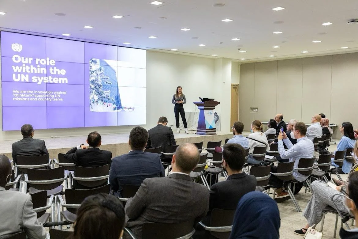
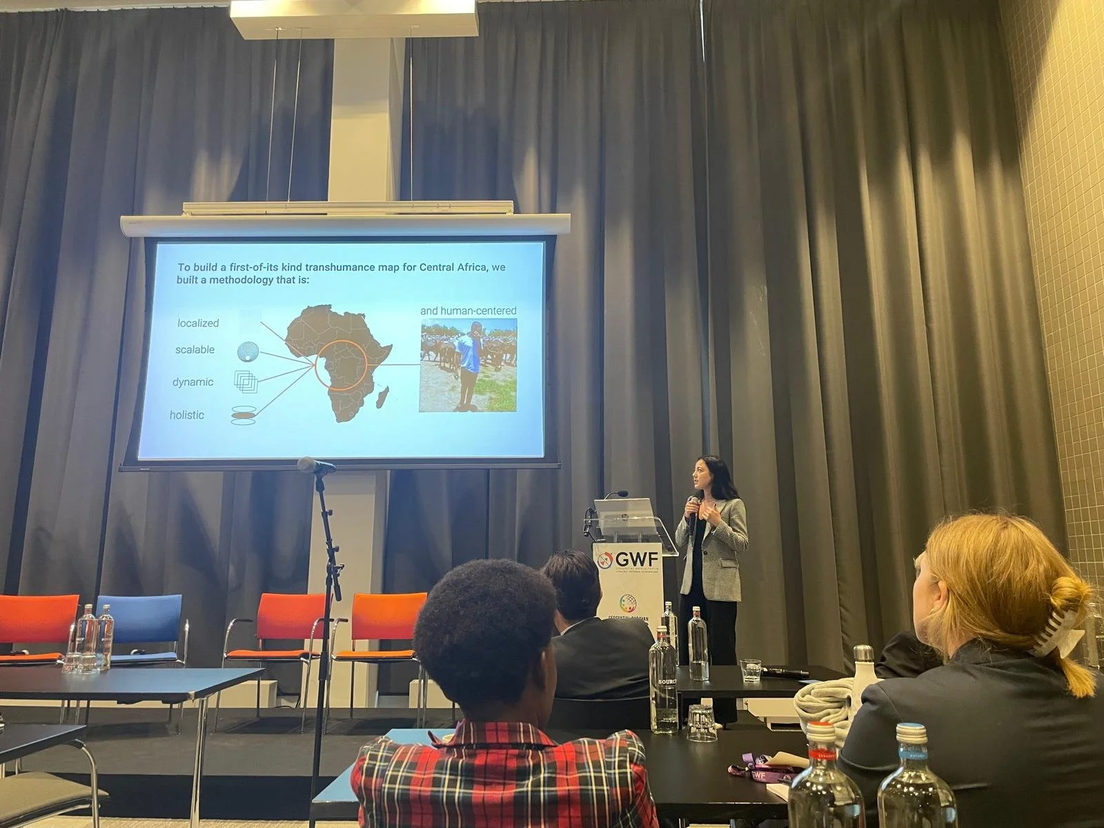
Speaking Engagements, Conferences & Workshops
2024
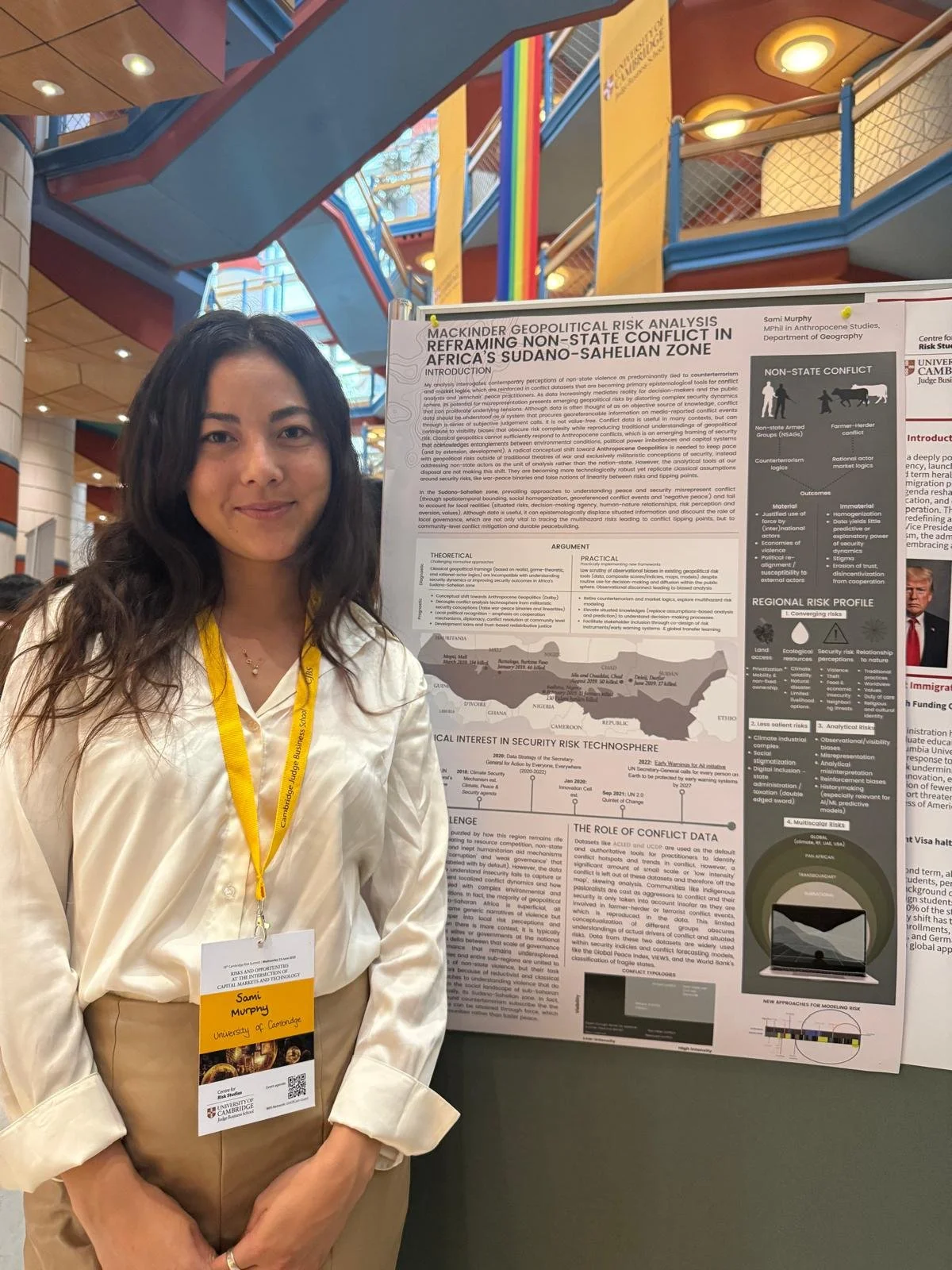
Munich, Bertoua, Cambridge
2025
Nairobi, Addis Ababa, Berlin
2023
Yaoundé, Garoua, Libreville, Geneva, Rotterdam, Providence RD, Vietnam (virtual)
2022
Doha, Amsterdam, Geneva
Expertise
climate security
•
climate mobility
•
geospatial applications for peace & security
•
early warning systems
•
critical cartography
•
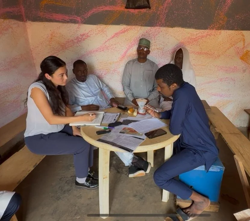
field research
•
design thinking
•
project management
•
scientific research
•
workshop facilitation
•
stakeholder engagement
climate security • climate mobility • geospatial applications for peace & security • early warning systems • critical cartography • field research • design thinking • project management • scientific research • workshop facilitation • stakeholder engagement
Bio
Sami brings eight years of research experience on the relationship between climate change and human security (focusing on conflict, mobility, and geospatial intelligence), with five years of practical project management experience developing risk monitoring systems and other policy-relevant tools. During her four years as a geospatial consultant for the United Nations Department of Political and Peacebuilding Affairs (DPPA), she cultivated trusting relationships between high-level decision-makers, technical engineers, academic institutions, and the private sector to scale multi-year innovation projects across the Middle East, Africa, and East Asia.
Although a project manager by title, Sami considers herself a storyteller at heart — her goal is to operationalize insight by putting crucial information on-the-map, while rescripting narratives around security altogether. She contributes a perspective grounded in data diplomacy and more-than-human peacebuilding. Her recent work explores the fusion of emerging technologies with situated and Indigenous knowledges.
Publications
Education
MPhil in Anthropocene Studies, Department of Geography - University of Cambridge
Research focus: Identifying coverage gaps and the impacts of ‘invisibilized’ conflicts in climate security maps; exploring new methods for participatory mapping at the climate-conflict-mobility nexus.
BA in International Relations & Spanish, Department of Government - Claremont McKenna College
Research focus: Leveraging Geospatial Intelligence (GEOINT) to strengthen global peace and security frameworks.
FOUNDER & MANAGING DIRECTOR
Sami Murphy