
VANTAGE GEOSPATIAL INSIGHTS
Custom geospatial project management
Mapping Change. Managing Risk. Telling the Story.
Leveraging space-based technology and interdisciplinary expertise to address wider spectrums of insecurity.


Transforming spatial data into strategic foresight
To advance environmental and human security.

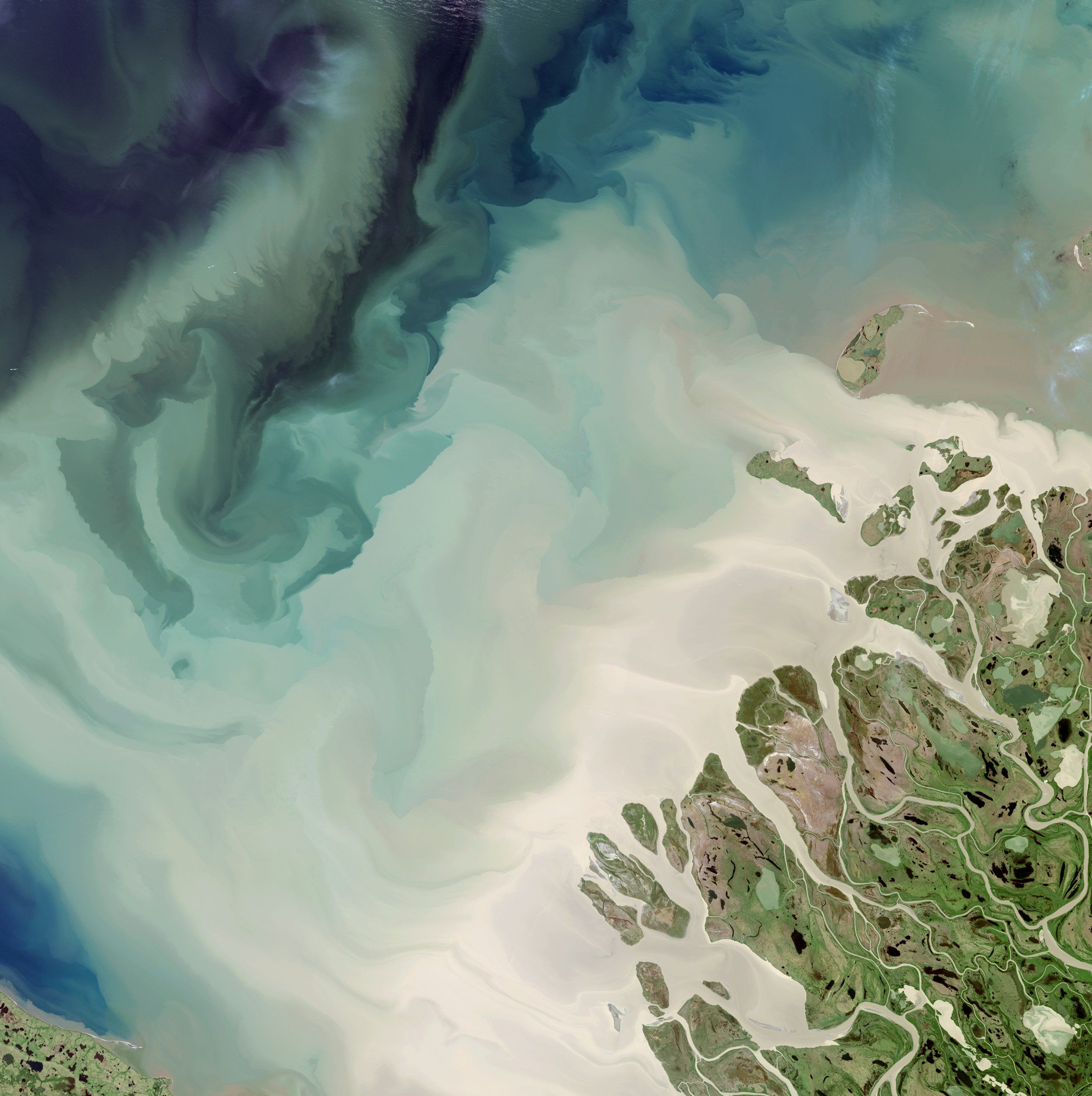
Sand storm from the Bodélé Depression sweeping through Chad.

Taliban construction of the Qosh Tepa canal, diverting water from the Amu Darya river.